
Snowpack Percentages Increase After Above Normal February Precipitation
Submitted by Nicole Martinez
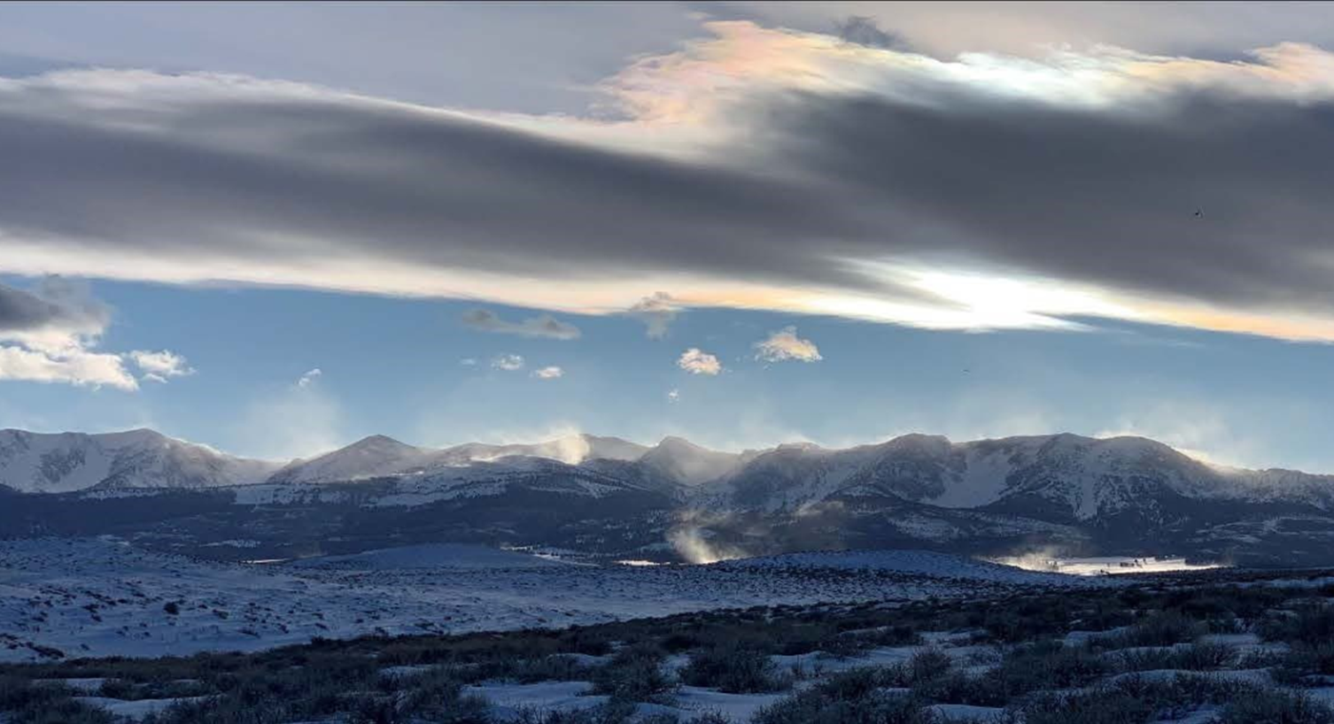
After a large late January storm ended several weeks of dry weather, active weather has persisted. “There were not many days in February in which it wasn’t snowing somewhere in Montana,” said Eric Larson, USDA Natural Resources Conservation Service (NRCS) Water Supply Specialist. In addition to consistent precipitation during the month, there were a couple large storms that added to the totals. The most significant storm occurred near the end of the month, and similar to the late January storm, delivered several feet of snow to Montana. The largest storm totals accumulated in the Mission and Swan Mountain ranges, where over four inches of precipitation fell. Other mountain locations across Montana received about two to three inches of precipitation.
Overall, February precipitation was near to well above normal across most of Montana and northern Wyoming. The Smith-Judith-Musselshell region received over 150% of normal monthly precipitation, while basins in western Montana stretching from the Madison to the Kootenai River basin received about 90% to 110% of normal precipitation. All other basins were somewhere between that range, except for the Bitterroot which only received about 80% of normal February precipitation.
“As of March 1, most snowpack percentages have increased from last month. This was a timely rebound as many Montana river basins experienced a decrease in their snowpack percentage from January 1 to February 1,” said Larson. Currently the snowpack is above normal in all basins east of the Continental Divide, except the Saint Mary River basin which is at about 90% of normal for March 1. The Bighorn, Upper Yellowstone, Jefferson, and Sun-Teton-Marias River basins currently have a near normal snowpack. The Madison, Gallatin, Tongue, and Powder River basins currently have a well above normal snowpack, at about 115%. The Smith-Judith-Musselshell River basin snowpack is also well above normal at about 125%.
Some regions including the Madison, Gallatin, Little Belts, Big Belts, and Bighorn mountains have accumulated a two-to-three-inch surplus of snow water equivalent, which will be beneficial if active weather tapers off in the next couple months. However, those regions are still three to six inches below their normal April peak snowpack levels and lack of snowfall during the next couple months could result in a below normal snowpack in the spring, when it matters most. “River basins to keep an eye on over the next couple months are the Kootenai, Lower Clark Fork, Bitterroot, and Saint Mary. The basin-wide snowpack deficit in these basins currently ranges from three to six inches of snow water equivalent,” said Larson. These basins will need above normal precipitation over the next couple months, otherwise snowmelt provided water supply will likely be below normal this spring.
“With one to two months remaining in the typical snowpack accumulation season, the current snowpack provides insight into what spring snowmelt will bring, and March 1 water supply forecasts are now available statewide,” said Larson. Most of the forecasts are within 10% of normal, which aligns with current water year precipitation and the ensuing snowpack. Exceptions are parts of central Montana (Smith-Judith-Musselshell), southwest Montana (Gallatin and Madison), and northern Wyoming (Wind, Bighorn-Powder-Tongue), which due to abundant precipitation this water year are currently forecasted to have above normal streamflows. Alternatively, western Montana, along the Idaho border (Big Hole, Bitterroot, Lower Clark Fork), is forecasted to have below normal streamflows, which is the result of the below normal precipitation that region has experienced this water year. “Keep in mind, snowpack conditions could change over the next couple months and therefore some uncertainty exists in the March 1 forecasts,” said Larson.
A full report of conditions on March 1 can be found in the monthly Water Supply Outlook Report available on the Montana Snow Survey website. In addition, real-time snow survey data can be found at nrcs.usda.gov/montana. Click on Montana Snow Survey Program.
Saturday, March 25 Winter Animal Tracking & Early Spring Birding Class!
Submitted by Brian Baxter
Join us for a fun day of learning together how to utilize our natural observational skills to find and identify animal tracks & sign, and spot and identify local and migrating avian species. This Adult Class will meet at the Venture Inn Viking Room in Libby, Montana at 9:00 a.m. MOUNTAIN TIME to go over a few helpful learning aid sheets briefly before heading to the field. We will visit several field sites of differing habitat characteristics, observational view points, and do a couple very short hikes on private lands. Folks should come prepared dressed for weather in layers, with good footwear, hats, and gloves. Camouflage and / or natural colors work best. Also come with full gas tanks, lunch, water, snacks, cameras, binoculars, spotting scopes, field guides, and a good sense of humor. PARTICIPANTS MUST REGISTER FOR THIS OUTDOOR EDUCATIONAL PROGRAM. NO DOGS OR PETS. Wrap up approx. 3 p.m. MTN TIME. Experienced Instructor – Field Researcher. Slots limited to 10 folks. TO REGISTER: Email b_baxter53@yahoo.com OR Call 406-291-2154.